

On 7 October, MAG (Mines Advisory Group) partnered with the University of Southern California (USC)’s Spatial Sciences Institute (SSI) to deliver a technical workshop in Los Angeles introducing students to the challenges of detecting and removing landmines and unexploded bombs in conflict zones.
Led by Stephen Ingram, MAG’s Global Technical Advisor, over 30 students from programmes in global security studies, geospatial technologies, planning, and design participated in the two-hour workshop. It focused on three of MAG’s six guiding pillars for innovation in humanitarian mine action: predictive prioritisation, precision hazard detection, and scalable digital systems. Students used geospatial data to investigate solutions to two real-world problems that MAG is working on, one in Syria and one in Vietnam.
Students were divided into two groups, each working on a different scenario. The first group worked on a challenge that MAG is trying to address in Syria: identifying areas that may be contaminated by landmines and other explosive weapons, and deciding which areas need attention most urgently. The exercise explored what information could help identify what unexploded ordnance might be at each site. Students drew on Open-Source Intelligence (OSINT), meaning publicly available sources such as satellite images, maps, reports, and details about surrounding areas. They then considered how they could group the sites and decide which should be investigated first.
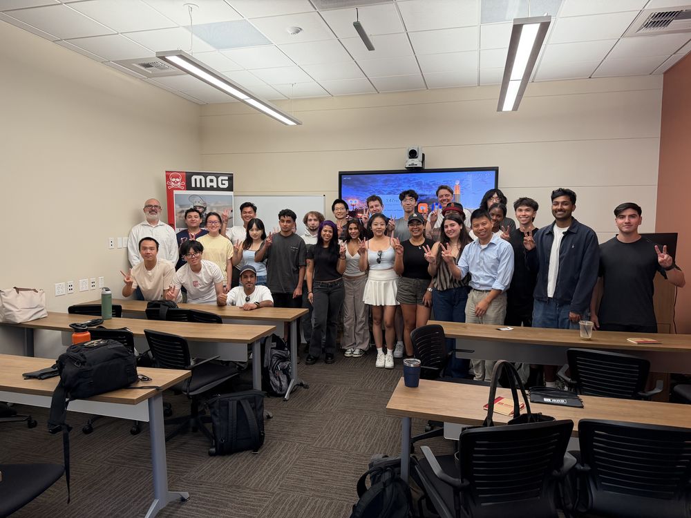
The second group was given historical records of bombing in Vietnam and was asked how they could use what was already known to estimate where unexploded bombs and other explosives may still be in an area that had not yet been surveyed for contamination. By looking at factors such as how heavily an area had been bombed, the types of bombs used, the landscape, how the land is used today and what had been found nearby, they considered how these factors could help predict which areas may still be contaminated.
Speaking on the day, MAG CEO Darren Cormack noted: “In just two hours, students worked through real data from Syria and Vietnam, named where it fell short, and proposed ways to fill the gaps. Several students asked how they could keep working with MAG, which is exactly what we hoped this partnership would spark. Finding and prioritising contamination faster means families get their land back sooner, and this was a thoughtful step toward that. We are grateful to the Spatial Sciences Institute for opening its classrooms to us.”
Carus Clarke, a Master of Science student in Human Security and Geospatial Intelligence, said of the event: “I came in comfortable with spatial data and left with a clearer sense of what it is for. We had thirty minutes to decide what the data could tell us and then present our approach to the people who do this work in the field. Hearing that 40% of those injured by landmines are children made it feel very real. I would love to find a way to keep contributing.”
This partnership is part of MAG’s larger strategy to work with a wide range of partners to find solutions that improve the accuracy and efficiency of its work supporting conflict-affected communities. Commenting on this collaboration, Darren Ruddell, Professor of Spatial Sciences at USC, said: “Our students rarely get to work with real operational data from an organisation on the front line of humanitarian mine action. In two hours, students from across our programs were asking sharp questions about what the data can and cannot tell us and how we can use these results to provide actionable information. We are grateful to MAG for bringing these problems into our classrooms, and we look forward to exploring how this can grow into student research and projects.”


